The increase in extreme weather events, which can now be regularly observed as a result of climate change, poses considerable challenges for cities and municipalities. This year alone, for example, many municipalities have had to deal with heavy rainfall and flooding – most recently, large parts of southern Germany were affected by masses of water in September. These climate-related events cannot be completely avoided in the future, but preventative measures can greatly reduce, if not prevent, their consequences for people and buildings.
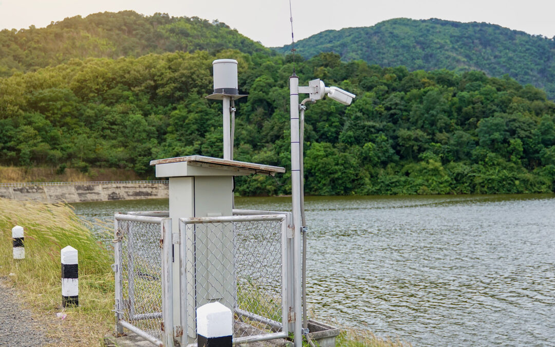
The implementation of a digital twin to prevent flood damage is a promising technology for cities and municipalities. Specifically in the context of heavy rainfall events, a digital twin is a digital model or virtual representation of a physical system. This technology enables a detailed simulation and analysis of current environmental conditions, including water levels, soil moisture and river flows, with the aim of making predictions about potential flood events.
From theory…
The real-time collection of environmental data, for example on precipitation and river levels, and their integration into the digital twin model enable the creation of precise predictions about potential flood risks. It allows the simulation of various scenarios, such as the analysis of the effects of heavy rainfall or the breach of a dam. In this way, areas with an increased risk can be identified so that appropriate preventive measures can be taken in a targeted manner. The model enables authorities to develop emergency plans and optimize the deployment of emergency services. It is also possible to simulate evacuations and determine the safest rescue routes to affected areas. The use of digital twins enables optimized planning of protective measures such as dykes or flood barriers, as investments can be made specifically where they will bring the greatest benefit. It is also possible to analyze long-term trends, such as changes in climate or land use and their influence on flood risk.
… to the lived practice in Dresden…
In the state capital of Saxony, the Institute of Hydraulic Engineering and Technical Hydromechanics (Institut für Wasserbau und Technische Hydromechanik, IWD) has been developing an “Urban Digital Heavy Rain Twin” since May 2024 – a virtual model of the city in which geographical data, specifically the topography of Dresden, and urban information, such as street and building types, are brought together. Basic map and area data can be visualized and accessed via a 3D web app available for desktop and mobile devices. Users can start heavy rain simulations in manually selected urban areas and track the results in real time. The flood risk can be assessed for the entire urban area down to individual buildings in order to ultimately calculate the potential impact and damage. This can support the responsible authorities and private individuals in making decisions on flood prevention.
The prototype based on free and open software is now available. It offers fully automated creation of 2D simulation models, which can be supplemented by precipitation forecasts from the German Weather Service. In addition, 3D simulations of structures such as bridges are also possible. The simulation results provide detailed information on water depths and flow velocities in flooded areas and can be intersected with urban infrastructure elements such as roads and buildings in order to precisely analyze potential hazards. A special capability of the system is that the simulation models can be generated quickly and easily on the basis of the municipal and nationwide database linked in the Urban Digital Twin.
The platform is to be made publicly accessible in the second quarter of 2025. The complete development of the Urban Digital Heavy Rain Twin is planned for the end of 2026. Further development beyond this is planned.
… and in the district of Euskirchen in cooperation with the WVER
In the wake of the catastrophic flooding in July 2021, the municipalities of Blankenheim, Dahlem, Hellenthal, Kall, Nettersheim and Schleiden, together with the district of Euskirchen and the Eifel-Rur Water Association (WVER), have launched an inter-municipal cooperation. The aim of this cooperation is to develop an implementable flood protection concept for the Urft and Olef catchment area by 2026 under the leadership of the WVER. This concept is intended to ensure flood protection that is designed for a 100-year event as well as improve resilience to extreme events.
For this purpose, the landscape and the watercourses that were remeasured after the flood are digitally recorded and modeled as a digital twin. These models and simulations will be used to check the effectiveness of the planned measures. However, it will take some time to develop the models and carry out the necessary simulations. The flood protection concept for the Urft and Olef should provide concrete recommendations for implementation by 2026.
Digital twins in flood protection are therefore a key technology for the future. They enable cities and municipalities to better analyze risks and take targeted measures to optimize protection against extreme weather events. With the increasing availability and further development of such models, it will not only be possible to better predict acute hazards, but also to design long-term protection concepts that significantly strengthen resilience to the consequences of climate change. The successful implementation in projects such as in Dresden and in the district of Euskirchen shows that the digital twin is a key element for sustainable urban planning and effective flood protection in the future.