The city of Kempten is not only a center for business, science and research in the Allgäu region. As a regional center, it also plays a central supply role. In order to better meet the challenges posed by inner-city structural change, climate change, the coronavirus pandemic and high levels of traffic congestion, Kempten is focusing on transforming itself into a digitally sustainable city.
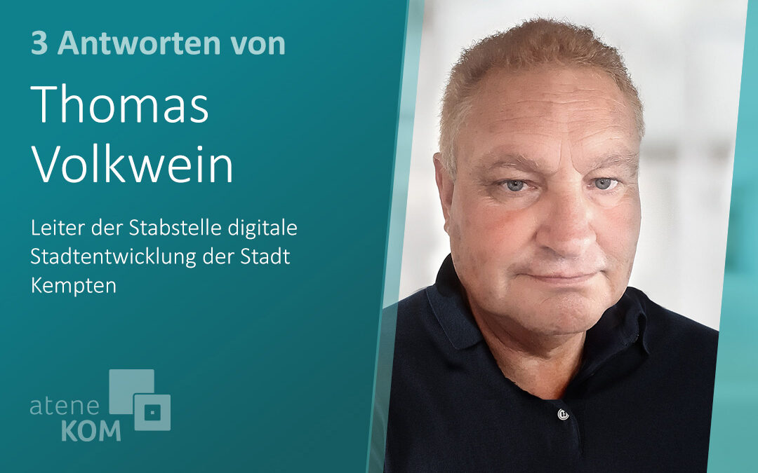
Thomas Volkwein, head of the Digital Urban Development department, is largely responsible for this. We met him at our aconium Infomobile during the Digital Day event in Kempten.
Mr Volkwein, Kempten is focusing on the concept of the digital twin when it comes to the digitalization of public services. What advantage do you expect to gain from this?
The digital twin is used for targeted and sustainable urban development: it opens up completely new possibilities for data analysis. For example, in building law, we can now also intersect all related information with a property, such as the person responsible for building inquiries, the development plans with all changes and even listed trees. Thanks to the digital twin, we can retrieve all relevant information with a single query. In the past, we had to do research for ages.
Now the sensor technology needs to be added to connect this digital image of the city of Kempten to life with real-time data. Then the digital twin would be perfect.
What is currently a challenge on Kempten’s path to developing a digital twin?
This is certainly data modeling in accordance with the globally applicable 3D city modeling standard CityGML of the Open Geospatial Consortium. Buildings are already relatively well defined in the CityGML standard. But how do I model street space? What is involved and how do I put it all together so that I can analyze this information, such as traffic situations, accordingly? Defining such standards is the task of institutions and consortia such as the Open Geospatial Consortium.
What does this modeling mean in practice?
It is important that as much relevant data as possible is blended together. For example, I need to see a street space not only as a street with a sidewalk, but also integrate its adjacent buildings. Then there is the information from below the surface, for example the water channels and other infrastructure. If, for example, I predict today that the road surface will need to be renovated in six years’ time, then this information must also be sent immediately to the sewer, gas and water authorities. Then the municipal utilities, for example, can say: “Great! In six years’ time, we’ll be looking to renovate the sewers.”
However, if a construction area is connected two years later and this results in a significantly higher road load, then the road surface may have to be renovated in four years’ time. If this information is now also sent to the body responsible for the sewer work, we can avoid a situation where the road is first resurfaced four years later and then cut up again two years later for the sewer renovation.
It is therefore important that we define and model not only the buildings, but also all the associated stairs, tunnels, roads and canals in this standard. These are the questions that are trying to answer. But they are essential so that we can ultimately operate genuine City Information Modeling and Management with a digital twin of the city of Kempten.
Thank you very much for the interview.

