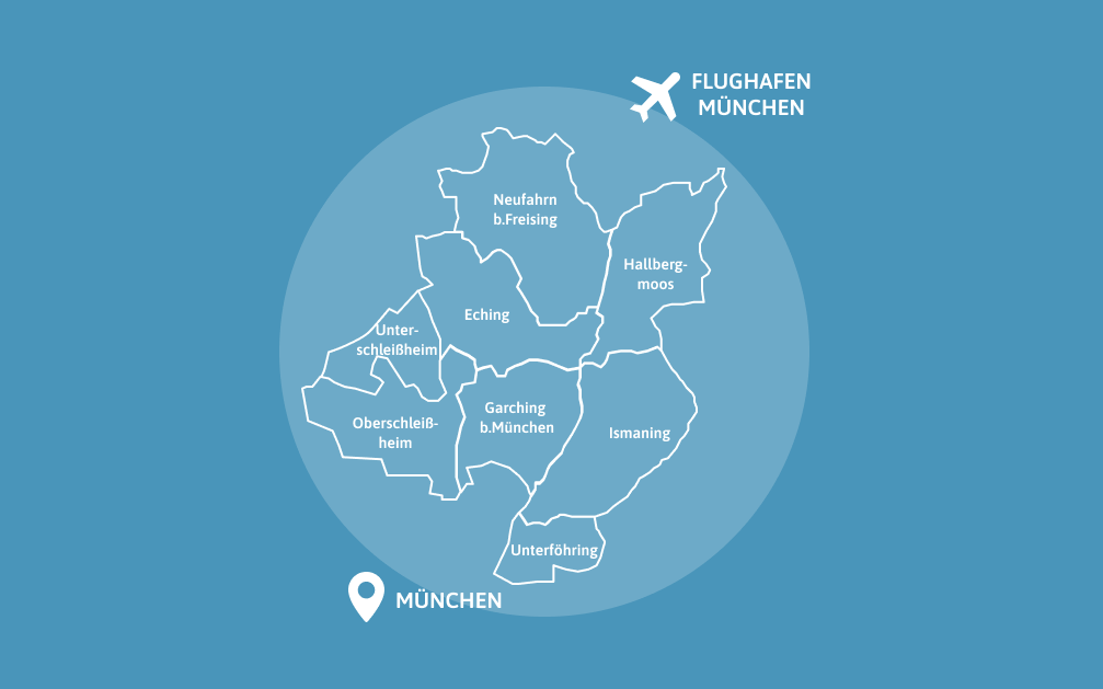
Urban land-use planning is an important part of local self-government. It comprises the planning and control of the urban development of a municipality in Germany. Particularly in the case of construction projects that affect several municipalities, the possibility of networking the respective specialist departments can be helpful in order to make implementation more efficient. With the “TwinBy – Digital Twins for Bavaria” funding program from the Bavarian State Ministry for Digital Affairs, the municipalities of the NordAllianz have been able to establish cooperation between municipal employees in construction and IT so that they have joint access to the necessary data in a digital twin. This has laid the foundation for the standardized availability and networking of data from all eight NordAllianz municipalities.
NordAllianz has set itself the goal of jointly and strategically promoting the economy, science, housing and the environment for the region and meeting changing mobility requirements. By the end of 2022, an Integrated Digital Development Concept (IDEK) for the Smart Region NordAllianz was developed together with administrations, regional companies and institutions as well as local citizens. NordAllianz is thus focusing on the following key topics: “Mobility and transport”, “Housing and settlement development”, “Planning processes and open data”, “Cooperation and skills” and “Communication and participation”. The development of the IDEK was funded by the Free State of Bavaria for urban development planning and research as part of the “Smart Cities Smart Regions” model project and the federal and state urban development funding program “Social Cohesion”.
As part of the IDEK NordAllianz, it was decided to participate in the TwinBy project as a network. aconium GmbH supported the project with the implementation of a master portal to integrate municipal data from different, decentrally stored or generated sources and gradually create a digital twin of the region. The digital twin was used to standardize selected urban planning data and make it available via an interactive map. The 3D visualization is primarily used by municipal administrations and planning offices. In the longer term, future planning projects should also be able to be visualized for citizens, as they are also interested in how their municipality wants to use and design properties.
With the digital twin, the region is thus not only strengthening the inter-municipal coordination of settlement development, but also facilitating citizen participation.
Background of the project
With a total funding volume of around one million euros, 17 projects from 13 individual municipalities and four municipal associations were supported, according to the Bavarian State Ministry for Digital Affairs. The participating municipalities received consulting and coaching services from selected service providers for professional and technical implementation as well as funding of up to 50,000 euros for individual municipalities and up to 75,000 euros for cross-local projects.
The Bavaria-wide project also promoted exchange between the municipalities so that the stakeholders can benefit from each other’s experiences. An accompanying training program ensures that work with and on the digital twins can continue after the end of the project.